DATA: united kingdom: vector map products


Introduction

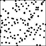
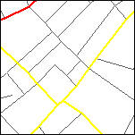
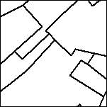
Vector data (consisting either of unique points, or sets of points linked together to form lines, polylines or polygons) can be used in a geographic information system to represent a variety of features including, for example, postcodes, road networks or administrative boundaries.

Points
Crown Copyright
© Ordnance Survey


Points
Lines
Crown Copyright
© Ordnance Survey


Lines
Polygons
Crown Copyright
© Ordnance Survey


Polygons

The leading providers of topographic data in vector format for the United Kingdom are: Follow the links for product and pricing details.


© Copyright Business Geographics Limited