SOLUTIONS: consultancy
Business Geographics undertakes a wide range of consultancy work under the following headings:
If you require additional information - or would like to discuss a consultancy or development project - please either contact the office or send email to info@geoweb.co.uk.
GIS implementation
Geographic information systems cannot always be implemented easily. Public and private sectors have - on occasion - spent huge sums running mapping projects that have failed (sometimes abysmally).
Business Geographics' implementation team offer impartial advice to clients wishing to develop a geographic information system either on the desktop or over intranet or Internet networks using web-based protocols.
With years of practical experience our staff suggest how organisations can set up:
- database architectures
- computing and network environments
- mapping (and supporting) software packages
- in-house or external training programmes
Business Geographics has worked with some of the UK's largest and most respected organisations to specify, set up or redefine mapping projects.
To learn how our services have been received please refer to our Case Histories. To initiate a consultation exercise please either contact the office or send email to info@geoweb.co.uk.
Data audit and procurement
Eighty per cent of the lifetime cost of a geographic information system is consumed by data: collecting, purchasing or maintaining the key ingredient that informs users' decisions.
Business Geographics is one of the world's leading data sales companies, providing a wide range of datasets for use in any geographic information system.
With our expert knowledge of datasets and applications we can offer services including:
- data audit
- consistency checking
- quality control
- data procurement, maintenance and update
All mapping and geospatial analysis operations depend upon the availability and use of sufficiently detailed and accurate data.
If you wish to review your current data holdings or procure new datasets for your geographic information system please either contact the office or send email to info@geoweb.co.uk.
MapInfo® and MapBasic® development
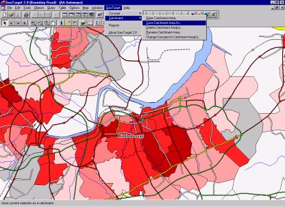
The MapInfo® geographic information system is Business Geographics' preferred platform for desktop mapping operations.
We have been using MapInfo® (and the associated development environment MapBasic®) since early 1991.
MapInfo® was the first geographic information system to successfully operate under the Microsoft Windows® operating system. As a Windows®-based product MapInfo® has always offered a straightforward and easy to use interface.
As the most popular desktop mapping system (over 200,000 sales world-wide) most datasets (and numerous applications) are available in native MapInfo® format.
Business Geographics offers the following services for MapInfo® users:
- sales, set up and installation
- training
- customisation, through the MapBasic® development environment
If you wish to implement desktop mapping systems around MapInfo® please either contact the office or send email to info@geoweb.co.uk.
Autodesk MapGuide™ development
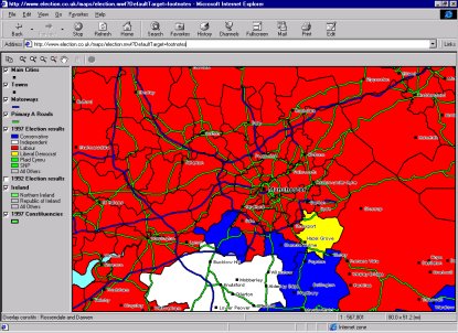
Business Geographics use Autodesk MapGuide™ software for the delivery of geographic information over web-based Internet and intranet networks.
MapGuide™, which can handle very large volumes of data imported from a wide range of desktop or corporate geographic information systems, sends attributed vector data - and geo-referenced raster data - over the web. Competing map server software has, to date, only managed to return images (GIFs) or hot-spotted (GIF-based) image maps to the browser.
The advantages of sending vector data over the web (whether the public Internet or a private intranet) are considerable. MapGuide's unique architecture provides:
- scale dependent map views
- gazetteer and zoom goto functionality for points, lines and polygons
- naming and identification of all map objects
- selection and multiple selection of map objects
The ability to select map objects in the Viewer to launch processes on the web server enables users and developers to link map objects to database records, images, video, detailed drawings or any other content that can be presented in HTML-compliant documents.
Business Geographics have been working with MapGuide™ technology for over three years, starting work even before Autodesk acquired the Canadian developers Argus Technologies in 1996.
In 1997/98 we were named Autodesk MapGuide Dealer of the Year, following sales and implementations for:
If you wish to implement Internet or intranet-enabled mapping systems around MapGuide™ please either contact the office or send email to info@geoweb.co.uk.
© Copyright Business Geographics Limited