Ordnance Survey (OS) is the United Kingdom's national mapping agency, and produces an extensive range of high quality digital mapping in both raster and vector form.
Several Ordnance Survey vector (and raster)
map data products are available for use in geographic information systems:
Derived from a 1:625,000 scale source, BaseData.GB is Ordnance Survey's smallest scale national vector dataset, ideal for applications requiring an overview of Great Britain.
Sourced at 1:250,000 scale, Strategi is Ordnance Survey's medium scale national vector data set, giving a good regional level overview of England, Scotland and Wales.
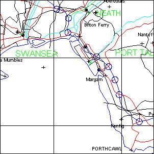
StreetLine is derived by The Data Consultancy from Ordnance Survey OSCAR Route-Manager™.
StreetLine includes more than 1.1 million road links to provide street level mapping of exceptional accuracy and quality. StreetLine data packs comprise roads and streets with names together with a set of coastline and county boundaries.
Several variants of StreetLine are also available:
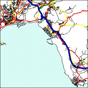
StreetLine Routing - designed and structured for vehicle routing applications, supplied as a topologically clean link and node data structure.
StreetLine Drivetime - an enhanced version of the Routing data set including off-peak private vehicle travel speeds for each road link on the StreetLine network.
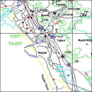
StreetLine Professional extension pack - an add-on data set of backdrop mapping features (derived from Ordnance Survey Strategi data) giving urban and woodland areas, rivers, lakes and canals, railway lines, stations, a less complex road network (for fast display at smaller map scales) and a gazetteer of ove 27,000 cities, towns and settlements.
If you require a quote for the supply of a geographical subset of StreetLine data please either contact the office or send email to info@geoweb.co.uk.