Unit postcodes and the derivative postcode sector, district and area boundaries are the most widely used geographical building blocks in the United Kingdom.
The UK postcode system is hierarchical such that a full, or unit, postcode (AB54 6DX) falls within a postcode sector (AB54 6), which is itself part of a postcode district (AB54) which is in turn part of a much larger postcode area (AB).
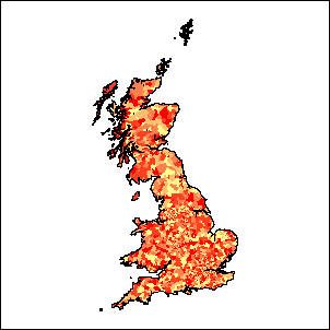
Any postcoded data may be mapped using the postcode. Many organisations hold client records (eg new car sales) against an individual and their address.
Numeric counts (such as the number of sales of a particular model of car) may be aggregated for mapping and analysis purposes to postcode sector, district or area levels. This aggregated data may be mapped thematically against postcode sector, district or area boundaries.
Business Geographics postcode sector, district and area boundaries are based around a Thiessen tessellation of the 1.6 million unit postcode grid references listed on the Postal Address File (PAF®).
Business Geographics postal boundaries are geographically consistent with Royal Mail postcode and address level files. Unit postcode centroids from PAF® will fall within their correct respective postcode sector, district or area boundary.
Business Geographics postal boundary products are regularly updated in line with changes to PAF®.
Geoplan postal boundary products are digitised directly from Royal Mail operational maps at 1:50,000 scale or at 1:10,000 scale in conurbations.
The high positional accuracy of the boundaries facilitates the use of this data set with large scale road and street maps. However, there is no guarantee that unit postcode centroids from PAF® will fall within their correct respective postcode sector, district or area boundaries.
Geoplan postcode boundaries are available at high, medium and low resolutions.
Produced directly from Ordnance Survey maps at 1:50,000 scale (1:10,000 scale in conurbations), high resolution boundaries are the flagship of the Geoplan postal product range and are the most accurate representation of UK postcode sectors.
For detailed appplications that demand the highest level of boundary accuracy and continual updates, these boundaries are the optimum choice.
The price includes all released updates to the boundaries for the first year.
Produced directly from the high resolution boundaries, Geoplan medium resolution postal products feature a generalised boundary to enable faster drawing speeds and reduced storage requirements for those applications where boundary accuracy is not essential.
The price includes one update to the boundaries after six months.
Low resolution postcode sector, district and area postal products feature boundaries from which all non-critical boundary points have been removed.
This enables the fastest drawing speeds and minimum storage requirements at the expense of accuracy for those applications where boundary accuracy is of secondary importance and only a schematic representation is required.