Ordnance Survey (OS) is the United Kingdom's national mapping agency, and produces an extensive range of high quality digital mapping in both raster and vector form.
Several Ordnance Survey raster (and vector)
map data products are available.
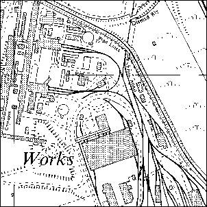
Ordnance Survey 1:10,000 scale raster data is available in two series for Great Britain
Costs range from Ł65 for a 5km by 5km tile to Ł160,000 for full national coverage.
If you require a quote for the supply of Ordnance Survey 1:10,000 scale raster data please either contact the office or send email to info@geoweb.co.uk.
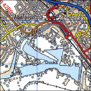
Ordnance Survey 1:50,000 scale raster data is available for the whole of Great Britain
Costs range from Ł10 for a 20km by 20km tile to Ł5,000 for full national coverage.
If you require a quote for the supply of Ordnance Survey 1:50,000 scale raster data please either contact the office or send email to info@geoweb.co.uk.